GEODNET GEO-MEASURE Update adds real-world DePIN utility with centimeter-accurate tools for surveying, construction, and $GEOD adoption.
Author: Kritika Gupta
Steady attention without excessive speculation.
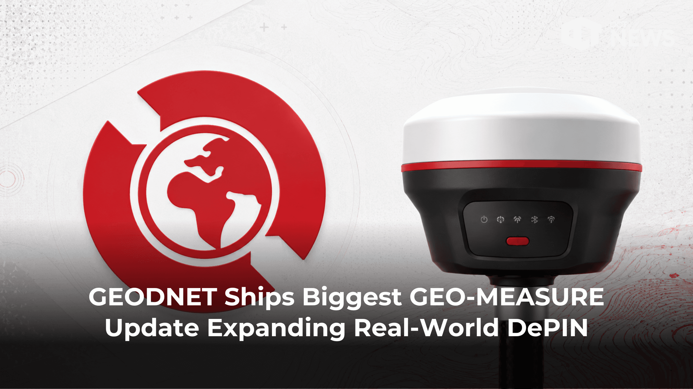
5th June 2026- GEODNET has released GEO-MEASURE version 1.0.5, its largest application update to date for the GEO-MEASURE handheld RTK receiver. While the release introduces several professional surveying features, the broader significance for crypto investors lies in what it represents for GEODNET’s expanding DePIN ecosystem.
The June 2026 update adds Stake Out navigation, Single Point Base Shift, and Point Labeling, improving field usability for surveyors, construction professionals, GIS operators, drone pilots, and infrastructure teams. More importantly, it strengthens the practical utility of GEODNET’s decentralized Real-Time Kinematic (RTK) network, which has grown into one of the largest DePIN deployments operating in the physical world.
High Signal Summary For A Quick Glance
On June 4, 2026, GEODNET announced the release of GEO-MEASURE 1.0.5, describing it as the application’s biggest update so far. The update introduces three major additions designed to simplify real-world surveying and positioning workflows.
Stake Out allows users to select a location on the map and receive centimeter-accurate guidance directly to that point. Single Point Base Shift enables operators to correct known positioning offsets without disrupting workflow. Point Labeling lets users assign custom names and color codes to collected points, making larger projects significantly easier to manage.
The update is available through the GEO-MEASURE companion application, which connects via Bluetooth to the GEO-MEASURE RTK receiver and leverages correction data supplied by GEODNET’s decentralized network.
The update continues a pattern of steady product development that GEODNET has maintained since launching GEO-MEASURE hardware in October 2025. Earlier software releases introduced export capabilities, coordinate system support, point collection tools, Bluetooth stability improvements, and survey workflow enhancements. Each update has gradually expanded the system’s capabilities while making professional-grade positioning more accessible to non-enterprise users.
At the same time, GEODNET has continued scaling its physical infrastructure footprint. The network now operates more than 21,000 RTK reference stations across over 150 countries, making it one of the largest decentralized geospatial networks in existence.
Community reaction was overwhelmingly positive following the announcement. Surveying professionals highlighted the practical value of the new features, while DePIN participants viewed the release as another example of GEODNET delivering tangible utility rather than focusing solely on token-related announcements.
Industry publications have previously praised GEO-MEASURE for offering survey-grade positioning capabilities at a fraction of the cost of traditional GNSS systems. The hardware package entered the market at roughly $695 including the first year of correction services, substantially undercutting many legacy alternatives.
Stake Out transforms GEO-MEASURE from a measurement application into a complete field deployment tool. Users can now select target coordinates and receive real-time navigation guidance with centimeter-level precision. This capability is particularly valuable for construction layout, drone ground control point placement, infrastructure deployment, and boundary marking.
Single Point Base Shift addresses one of the most common operational challenges in RTK workflows. Users can quickly compensate for known offsets or reference-point discrepancies without restarting projects or introducing unnecessary complexity into the survey process.
Point Labeling improves project organization by allowing custom names and color coding directly within the application. This functionality becomes increasingly important as projects scale and operators manage larger datasets across multiple locations.
Collectively, these additions improve usability while reducing friction for professional users. That matters because successful DePIN networks ultimately depend on delivering products that people use regardless of token incentives.
Relative positioning against past updates or peers
The latest update strengthens GEODNET’s position across several growing industries. Construction and civil engineering teams can perform layout and staking operations more efficiently. Land surveyors gain faster project management capabilities and more accurate field adjustments. Drone operators can place ground control points with greater precision, improving mapping and photogrammetry outcomes.
The benefits extend beyond traditional surveying. Autonomous vehicles, robotics systems, precision agriculture equipment, and physical AI applications all require reliable centimeter-level positioning. As these sectors continue expanding, demand for RTK correction services is expected to increase significantly.
This growing addressable market represents one of the strongest long-term investment narratives surrounding GEODNET. Rather than targeting crypto-native users alone, the network serves industries with established demand for high-precision positioning data.
GEO-MEASURE 1.0.5 reinforces GEODNET’s strategy of combining decentralized infrastructure with products that solve real-world problems.
Many DePIN projects focus primarily on network expansion metrics. GEODNET continues taking a different approach by building applications and hardware that make its infrastructure immediately useful for paying customers. The result is a growing ecosystem where network growth, user adoption, and token economics become increasingly interconnected.
The network already operates at global scale, and management continues shipping product updates that improve the end-user experience. If adoption among surveyors, drone operators, construction firms, robotics developers, and infrastructure providers continues to rise, demand for GEODNET correction services could grow alongside it. For crypto investors, the significance of GEO-MEASURE 1.0.5 extends beyond three new features.
Our Crypto Talk is committed to unbiased, transparent, and true reporting to the best of our knowledge. This news article aims to provide accurate information in a timely manner. However, we advise the readers to verify facts independently and consult a professional before making any decisions based on the content since our sources could be wrong too. Check our Terms and conditions for more info.


Avais Aziz
@avaisaziz
@jefffhj The temporal consistency in 1.5 looks like a solid step for longer video gen. Prompt adherence on motion seems tighter too.
Try Grok Imagine 1.5 to create your films! https://t.co/r93BD0JXbk
12:16 PM·Jun 4, 2026
Hmz
@hmz_ib
@carlsonandrew Massive update. Moving GEO from guesswork to actual hard data is an absolute game-changer for SEOs.
Google just made “AI visibility” a measurable surface: Search Console now has Generative AI performance reports for Search + Discover showing impressions inside AI features (AI Overviews / AI Mode). GEO is now an analytics problem, not a vibes problem.
09:22 AM·Jun 4, 2026

Geodnet